
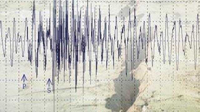
At 12:40 in the morning, while most of Alabama was asleep, the ground beneath Tuscaloosa shifted. The tremor was small — a magnitude 2.2 — but it was enough to put seismologists and local officials back on alert. In a state that many Americans don’t associate with earthquake risk, even a minor overnight shake raises a question worth asking: what exactly is happening beneath the surface here?
The United States Geological Survey confirmed the event, recording it at a depth of 5.9 kilometres, with its epicenter sitting just northeast of downtown Tuscaloosa and roughly 40 miles southwest of Birmingham. No injuries were reported. No damage was recorded. But the fact that it happened at all — in the middle of the night, in central Alabama — is the part of this story that deserves a closer look.
Seismic events at this scale rarely make national headlines, and most residents in the area may not have felt a thing. But scientists and emergency management officials pay close attention to even minor tremors, because they can signal deeper geological activity that isn’t always visible from the surface.
What the Tuscaloosa Earthquake Actually Tells Us
A magnitude 2.2 earthquake sits in the category that scientists consider minor. According to seismic data, quakes below 2.0 are rarely felt by people at all. Once a tremor crosses that threshold, some individuals may notice a brief vibration — perhaps a rattling window or a faint rumble — but structural damage at this level is essentially unheard of.
Damage to buildings and infrastructure typically doesn’t begin until earthquakes reach significantly higher magnitudes, well above what was recorded near Tuscaloosa. By that measure, Wednesday night’s event was geologically routine. But “routine” doesn’t mean “unimportant,” particularly in a region where the general public has little awareness that seismic activity occurs at all.
The depth of the quake — 5.9 kilometres — places it in the shallow end of the seismic spectrum. Shallow earthquakes, even weak ones, can sometimes be felt more acutely at the surface than deeper events of similar magnitude. That’s one reason overnight tremors of this type occasionally catch residents off guard, even when the numbers on paper suggest they shouldn’t be alarmed.
Key Facts About the Alabama Earthquake
| Detail | Confirmed Information |
|---|---|
| Date and Time | March 21, 2026, at 12:40 AM |
| Magnitude | 2.2 |
| Depth | 5.9 kilometres |
| Epicenter Location | Just northeast of downtown Tuscaloosa, Alabama |
| Distance from Birmingham | Approximately 40 miles southwest |
| Confirmed Damage | None reported |
| Confirmed Injuries | None reported |
| Monitoring Agency | United States Geological Survey (USGS) |
- The earthquake struck while most residents were asleep, which heightened awareness of the event despite its small scale.
- Quakes below magnitude 2.0 are rarely felt; this one, at 2.2, crossed the threshold where some people may notice movement.
- Authorities confirmed they are continuing to monitor seismic activity in the region.
- The USGS recorded and confirmed the event officially.
Why Alabama’s Seismic Risk Deserves More Attention
Most people think of earthquake country as California, the Pacific Northwest, or Alaska. Alabama doesn’t fit the mental image. That’s precisely why events like this one matter beyond their immediate scale.
The southeastern United States sits in a region with complex and not fully understood geological fault systems. Unlike the well-mapped, frequently discussed fault lines of the West Coast, the subsurface geology of states like Alabama receives far less public attention — even though seismic events do occur there, sometimes without obvious warning patterns.
When a tremor happens in an area where the public has low earthquake awareness, the practical risks can actually be higher than in earthquake-prone regions. Buildings may not be constructed with seismic resilience in mind. Emergency preparedness for earthquakes may be minimal. And residents may not know how to respond if a more significant event were ever to occur.
Officials have noted that monitoring small seismic events is an important part of understanding the broader geological picture. A cluster of minor tremors in a region can sometimes — though not always — precede more significant activity. That’s not a prediction, and scientists are careful not to overstate what individual data points mean. But it does explain why even a 2.2 magnitude quake at 12:40 in the morning gets logged, studied, and reported.
Who Is Affected and What It Means for the Region
For residents of Tuscaloosa and the surrounding areas, the immediate answer is: very little, at least from this specific event. No homes were damaged. No one was hurt. Life continued as normal by morning.
But the broader implication touches anyone who lives, works, or travels in central Alabama. The region between Tuscaloosa and Birmingham — two of the state’s largest population centers — is not seismically silent. Events like this are a reminder that geological risk doesn’t follow state borders or public perception.
For travelers and visitors to the region, this kind of low-level seismic activity is not a reason for alarm or avoidance. A 2.2 magnitude event poses no meaningful risk to people or property. What it does suggest, however, is that awareness of Alabama’s seismic environment is worth building — both among residents and among the officials responsible for long-term infrastructure planning in the state.
What Happens Next
Authorities confirmed they are continuing to monitor seismic activity in the area following the Tuscaloosa earthquake. The USGS, which tracks seismic events across the United States in real time, will continue logging any additional tremors in the region.
There is no confirmed forecast of further activity, and scientists do not predict individual earthquakes. What monitoring does provide is a clearer picture of where activity is concentrating over time — information that feeds into long-term risk assessments for communities, infrastructure planners, and emergency managers.
For now, Tuscaloosa returns to its normal rhythm. But the geological record has one more entry, and the instruments are still listening.
Frequently Asked Questions
How strong was the Tuscaloosa earthquake on March 21, 2026?
The earthquake measured a magnitude of 2.2, which is classified as a minor seismic event and is unlikely to cause any structural damage.
Was anyone hurt or was any property damaged?
No injuries and no damage were reported following the earthquake.
Where exactly did the earthquake occur?
The epicenter was located just northeast of downtown Tuscaloosa, Alabama, approximately 40 miles southwest of Birmingham, at a depth of 5.9 kilometres.
What time did the earthquake strike?
The USGS recorded the tremor at 12:40 AM on March 21, 2026.
Can a magnitude 2.2 earthquake be felt by people?
According to seismic data, quakes below 2.0 are rarely felt; at 2.2, some people may notice a brief vibration, though many residents likely slept through it.
Are authorities expecting more earthquakes in the area?
Officials confirmed they are continuing to monitor seismic activity in the region, though no specific predictions about future events have been confirmed.




Leave a Reply