
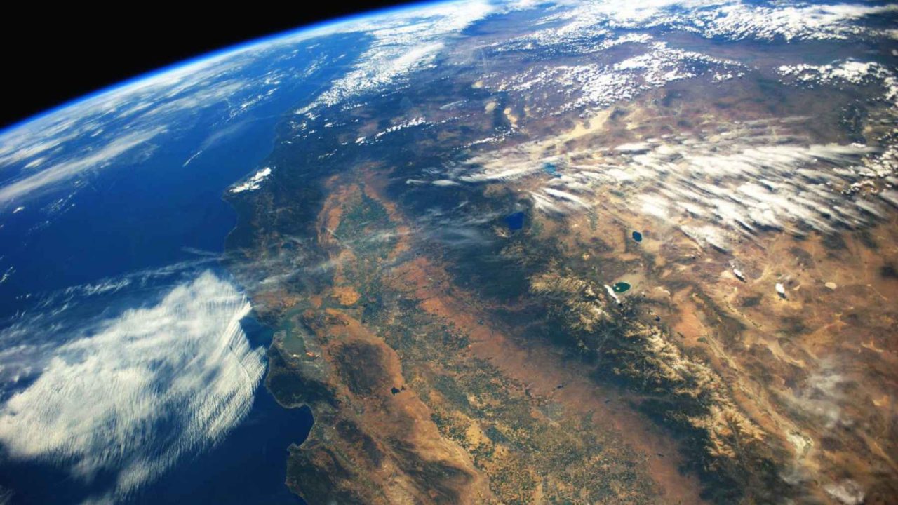
What if the ground beneath your feet was never as stable as the maps said it was?
It’s a question most of us never think to ask. We trust the geological surveys. We trust the fault-line charts posted in school hallways and city emergency plans. We assume scientists have drawn every boundary, named every plate, and accounted for every tremor hiding underground.
They hadn’t. Not quite.
A new study published in the journal Science has confirmed the existence of a tectonic fragment that researchers had long suspected but never definitively located: a piece of the ancient Farallon plate, buried beneath Northern California, sitting silently at one of the most geologically complex intersections on the planet. Scientists are calling it the Pioneer fragment, and its rediscovery is already forcing a rethink of how earthquake risk is calculated along the entire western coast of North America.
The Plate That Died Before the Dinosaurs Did
To understand why this discovery matters, you need to go back roughly 200 million years, when the supercontinent Pangaea began tearing itself apart. As the continents drifted, the Farallon plate — a massive slab of oceanic crust beneath the ancient Pacific — began its slow descent beneath North America. Over millions of years, it was almost entirely consumed, ground down by the relentless process of subduction.
Almost entirely. Not completely.
Around 30 million years ago, a slice of the Farallon plate was captured by the Pacific plate and began drifting northward. The rest of the Farallon system fractured into smaller remnants, including the Juan de Fuca plate and the Gorda plate, which still push against the North American continent today. The Pioneer fragment was thought to be another such remnant, but its exact location and behavior had remained frustratingly elusive.
The reason it stayed hidden for so long comes down to the sheer difficulty of seeing underground. Tectonic plates don’t announce themselves. You can’t drill down 30 or 40 kilometers and take a photograph. Scientists rely on seismic waves, gravitational anomalies, and complex modeling to infer what’s happening in the deep crust. And for decades, the models said western North America had three major interacting plates at the region’s critical junction point. The Pioneer fragment suggested the reality was messier.
| Plate / Fragment | Origin | Current Status | Key Risk |
|---|---|---|---|
| Farallon Plate | Formed ~200 million years ago | Mostly consumed; fragments remain | Parent of multiple active slabs |
| Gorda Plate | Farallon remnant | Actively subducting under North America | Ongoing seismic stress |
| Pioneer Fragment | Captured by Pacific plate ~30 million years ago | Confirmed beneath Northern California | Previously unmapped interface |
| Detached N. American chunk | Broken off North American plate | Sinking with Gorda plate | Unknown behavior, new discovery |
Listening to the Earth’s Whispers
The research team used a method that would have seemed like science fiction just two decades ago. Rather than waiting for large, destructive earthquakes, they trained a network of sensitive seismometers on something far subtler: low-frequency earthquakes and tremors, tiny vibrations deep underground that most instruments don’t even register.
Thousands of these micro-events were detected, mapped, and analyzed. Each one was like a pixel in a photograph that, once assembled, revealed a picture no one had seen before.
“The geometry extends the main plate interface farther south than previously thought.”
— Findings published in Science, 2024
That single sentence carries enormous weight. The “main plate interface” is the boundary where one plate meets another. It’s the zone where stress accumulates, where pressure builds over centuries, and where earthquakes are born. If that interface extends further south than the models predicted, then the area of potential rupture is larger than anyone was calculating.
The Pioneer fragment sits at the Mendocino Triple Junction, a location that already holds the geological equivalent of a four-way intersection during rush hour. Three major plates — the Pacific, the North American, and the Gorda — all converge here, just off the coast of Northern California, roughly where the San Andreas fault system meets the southern edge of the Cascadia subduction zone.
The Cascadia Problem Just Got Bigger
The Cascadia subduction zone has long been called the most dangerous fault system most Americans don’t worry about. It stretches roughly 700 miles, from Northern California up through Oregon and Washington and into British Columbia. Geologists have known for years that it is capable of producing earthquakes around magnitude nine, the kind that don’t just shake buildings but reshape coastlines and send tsunamis racing across the Pacific Ocean.
The last full Cascadia rupture happened in January 1700. Indigenous oral histories recorded a catastrophic shaking. Japanese records documented the tsunami that arrived on their shores the following morning. Scientists have since found the ghost forests and drowned marshes left behind along the Pacific Northwest coast, ecosystems that sank several feet in minutes when the plates finally slipped.
The interval between major Cascadia ruptures averages somewhere between 200 and 500 years. We are now 326 years past the last one.
And now the Pioneer fragment has complicated the picture further. A portion of the North American plate itself has broken off and is sinking alongside the Gorda plate. This is not behavior that was accounted for in the standard three-plate model. When plates fragment and sink unpredictably, the stress patterns around them change. Fault zones that seemed distant from each other may be more mechanically connected than the maps suggested.
What the Maps Got Wrong
There is something quietly unsettling about learning that the ground beneath a major metropolitan region has been mischaracterized for decades. Northern California is home to millions of people. The San Francisco Bay Area sits atop some of the world’s most carefully studied geology. And yet the Pioneer fragment and the detached North American chunk were operating beneath all of it, unmapped, unmodeled, and unaccounted for in regional seismic hazard assessments.
The researchers identified at least five distinct moving pieces beneath the surface where the classic model saw only three. Each additional piece represents an additional interface, an additional source of stress accumulation, and an additional unknown in the complex equation that produces earthquakes.
It’s important to be precise here: this discovery does not mean a major earthquake is imminent. Tectonic processes unfold over timescales that dwarf human experience. But hazard models are only as good as the data that feeds them. Insurance rates, building codes, emergency response plans, and infrastructure investments all flow downstream from those models. When the model is incomplete, everything built on it carries a hidden margin of error.
Rewriting the Risk Equation
The practical implications of this research are still being worked out. Seismologists will need to integrate the Pioneer fragment into existing hazard models, a process that takes years and requires validation across multiple research groups. Building codes in California already reflect some of the highest seismic standards in the world, but those codes are calibrated to known fault scenarios.
Extending the Cascadia interface further south changes the calculus for Northern California in ways that will require careful study. Communities near Eureka, Crescent City, and the broader Lost Coast region already live with awareness of tsunami risk. This research suggests that awareness may need to expand, both geographically and in terms of the magnitude of events that models should plan for.
There’s also a broader lesson embedded in this discovery. The tools for listening to the Earth have improved dramatically in recent years. Low-frequency seismometers, machine learning-assisted waveform analysis, and dense monitoring networks are revealing details that older instruments simply couldn’t detect. The Pioneer fragment didn’t suddenly appear. It was always there. We just learned how to hear it.
The Earth has been keeping its own records for 200 million years. We are only now learning to read them.


Leave a Reply