
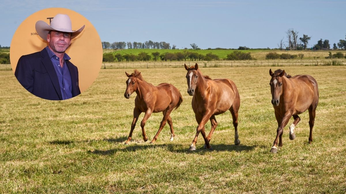
A Texas ranch owned by filmmaker Taylor Sheridan is quietly changing what a visit to rural America can look like — and it starts with a map you’ve never seen before.
Bosque Ranch, a landmark destination in central Texas, is partnering with Land.com to introduce photorealistic 3D digital mapping technology to its visitor experience. The move marks one of the more forward-thinking intersections of ranch culture and modern tech to emerge from the rural tourism space in recent years.
The technology is set to debut at Bosque Ranch Live, the ranch’s annual event, giving attendees an entirely new way to navigate and explore the expansive property.
What Bosque Ranch and Land.com Are Actually Building Together
The partnership pairs Bosque Ranch with Land.com, described as a leading rural real estate platform. Together, they’re rolling out a dynamic, photorealistic 3D map of the ranch property — not a static satellite image or a printed trail guide, but an interactive digital experience designed to help visitors orient themselves across a large and visually striking venue.
For anyone who has ever attended a large outdoor event and struggled to find their way around, the appeal is obvious. A photorealistic 3D map gives attendees a real sense of scale, terrain, and layout before they ever set foot on the grounds.
The stated goal is to merge traditional ranch culture with modern innovation — creating what the ranch describes as a seamless experience for guests. That framing matters. This isn’t about replacing the rugged, immersive quality that draws people to a place like Bosque Ranch in the first place. It’s about making that experience more accessible and navigable.
Why This Matters for Rural Tourism
Rural tourism has been growing steadily across the United States, with travelers increasingly seeking experiences outside of cities — working ranches, agritourism, nature retreats, and outdoor events. The challenge for many rural destinations has always been infrastructure: how do you welcome large numbers of visitors to a sprawling property without losing the atmosphere that made it worth visiting?
Digital mapping offers one answer. Rather than cluttering a landscape with signage or herding guests through rigid routes, interactive 3D maps let visitors explore on their own terms while still staying informed and oriented.
Bosque Ranch’s approach — debuting the technology at a live event rather than simply adding it to a website — suggests the ranch sees this as an on-the-ground visitor tool, not just a marketing asset. That distinction is worth noting. The technology is meant to function in the moment, during the event itself.
For central Texas, which has been building its profile as a destination for immersive rural experiences, this kind of innovation signals that the region’s tourism operators are paying attention to what modern travelers expect.
Key Details at a Glance
| Detail | What’s Confirmed |
|---|---|
| Ranch Location | Central Texas |
| Ranch Owner | Taylor Sheridan, filmmaker |
| Technology Partner | Land.com (rural real estate platform) |
| Technology Type | Dynamic, photorealistic 3D digital mapping |
| Debut Event | Bosque Ranch Live (annual event) |
| Primary Purpose | Visitor navigation and engagement during events |
- The 3D map is described as interactive, not a static image
- The technology is intended to enhance visitor engagement specifically during events
- The partnership is framed as a strategic move to redefine how visitors explore the ranch
- Land.com’s involvement suggests potential crossover between rural real estate audiences and tourism visitors
Who This Affects — and Why Visitors Should Pay Attention
If you’re planning to attend Bosque Ranch Live or any future event at the ranch, this technology changes the visitor experience in a practical way. Instead of relying on printed maps, staff directions, or guesswork across a large rural property, attendees will have access to a photorealistic 3D layout they can actually use to plan their movements.
For first-time visitors especially, that kind of tool removes one of the most common friction points of attending a large outdoor event — not knowing where anything is or how far away it sits.
Beyond individual visitors, the broader implication is for rural tourism operators watching this space. If a high-profile ranch like Bosque can make digital mapping feel native to a traditional ranch experience rather than out of place, it offers a template others may follow.
Land.com’s role here is also worth watching. As a rural real estate platform, its investment in visitor-facing mapping technology hints at how platforms built around land and property data are beginning to extend their tools into experiential tourism — a logical evolution given the data they already hold.
What Comes Next for Bosque Ranch’s Digital Push
The immediate next step is the debut of the 3D mapping technology at Bosque Ranch Live. Beyond that event,
What is clear is that this represents a deliberate strategic direction for the ranch — not a one-off experiment. The framing of the partnership as a move to redefine how visitors explore the ranch suggests the people behind it see this as a foundation, not a finishing touch.
For rural Texas tourism more broadly, the timing is notable. As more travelers seek out authentic, landscape-driven experiences, the destinations that invest in making those experiences navigable and shareable are likely to pull ahead of those that don’t.
Frequently Asked Questions
Where is Bosque Ranch located?
Bosque Ranch is located in central Texas and is owned by filmmaker Taylor Sheridan.
What is the new technology being introduced at Bosque Ranch?
The ranch is introducing a dynamic, photorealistic 3D digital map of the property, developed in partnership with Land.com.
When will the 3D mapping technology debut?
The technology is set to debut at Bosque Ranch Live, the ranch’s annual event.
Who is Land.com and why are they involved?
Land.com is described as a leading rural real estate platform. The partnership focuses on bringing their mapping technology into the visitor experience at the ranch.
Will the digital mapping be available outside of the annual event?
This has not yet been confirmed in available information about the partnership.
Is this part of a larger trend in rural tourism?
The move reflects a growing interest among rural destinations in using digital tools to improve visitor navigation and engagement without compromising the natural atmosphere that draws travelers in the first place.


Leave a Reply