
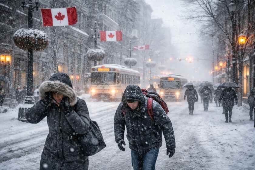
Spring arrived on the calendar on March 20 — but southern Ontario didn’t get the memo. Instead of milder temperatures and the first hints of seasonal warmth, a wintry weather system is sweeping through the region, bringing snow, freezing rain, and the kind of icy roads that make even short commutes genuinely dangerous.
For anyone who had travel plans lined up to mark the first day of spring, this is a serious heads-up. The conditions rolling in aren’t just inconvenient — they’re the type that catch drivers off guard precisely because nobody expects a snowstorm when the season has technically changed.
Here’s what’s happening, who it affects, and what you should know before you get behind the wheel or head to the airport.
A Prairie Clipper Crashes Canada’s First Day of Spring
The culprit is a clipper system moving in from the Prairies. These fast-moving weather systems are well known to Canadians — they travel quickly, they hit hard, and they often arrive with less warning than larger storm systems from the south. This one is delivering a mix of snow, freezing rain, and regular rain across southern Ontario on Friday.
Of all the precipitation types in that mix, freezing rain is the most dangerous. Unlike snow, which drivers can at least see and prepare for, freezing rain coats surfaces in a nearly invisible layer of ice. Roads, sidewalks, and bridges become treacherous with very little visual warning.
The areas north of Highway 401 are expected to see some of the worst icy conditions. Eastern Ontario is also in the path of fresh snowfall, adding another layer of difficulty for anyone trying to get around. Rush hour travel — both morning and evening — is expected to be particularly rough.
What the Weather System Means for Travel in Southern Ontario
The timing of this storm is what makes it especially disruptive. Friday morning rush hour coincides directly with the arrival of the worst conditions, meaning commuters heading into work will be navigating the slickest roads of the day. Evening rush hour isn’t expected to be much better.
For travelers with flights, road trips, or any time-sensitive plans on Friday, the advice is simple: build in extra time, check conditions before leaving, and seriously consider whether the trip can wait.
The broader travel and tourism picture for the region is also affected. Southern Ontario is a major hub for cross-border and interprovincial travel, and a weather event like this — arriving on what should be a celebratory start to spring — has a ripple effect on everything from hotel check-ins to tour departures.
A Breakdown of Expected Conditions Across the Region
| Area | Expected Precipitation | Primary Risk |
|---|---|---|
| North of Highway 401 | Freezing rain | Icy roads and black ice |
| Eastern Ontario | Fresh snowfall | Reduced visibility, slick surfaces |
| Broader Southern Ontario | Mix of snow, freezing rain, and rain | Slow commutes, travel delays |
- The storm system originates from the Prairies and is classified as a clipper system
- Freezing rain is expected to be the most hazardous element for road users
- Both morning and evening rush hours on Friday are at elevated risk for delays
- Walking conditions in affected areas will also be more difficult than usual
Who Gets Hit Hardest by This Storm
Daily commuters face the most immediate impact. Anyone driving to work Friday morning through areas north of the 401 or across eastern Ontario should expect slower travel times and a higher chance of accidents on untreated surfaces.
Tourists and visitors to the region are also caught in a difficult spot. Southern Ontario draws significant travel traffic, and a disruptive weather event on the first day of spring — a time when many people plan weekend getaways or seasonal travel — creates real logistical headaches.
Pedestrians shouldn’t underestimate the risk either. Freezing rain makes sidewalks just as dangerous as roads. Falls on icy surfaces are a leading cause of winter injuries, and the conditions expected Friday morning are serious enough to warrant extra caution on foot as well.
For businesses in the travel and tourism sector — from rental car companies to tour operators — a storm like this on a high-traffic Friday means cancellations, rescheduling requests, and the kind of operational disruption that’s hard to plan around.
What to Do Before You Head Out on Friday
Officials have noted that preparation is the most effective tool when a storm like this rolls in. That means checking road condition updates before leaving home, allowing significantly more travel time than usual, and keeping an emergency kit in the vehicle if you do need to drive.
If travel is not essential, staying off the roads during the worst of the precipitation — particularly during rush hour — is the safest option. The storm is expected to move through, as clippers typically do, but the window of worst conditions aligns almost exactly with the hours when roads are most congested.
For those with flight connections or long-distance travel planned, checking with airlines or transportation providers early in the day is advisable. Ground delays caused by icy conditions can affect departure schedules even when the airports themselves remain operational.
Spring may have officially started — but southern Ontario is being reminded, as it often is in late March, that the calendar and the weather rarely agree on anything.
Frequently Asked Questions
What type of weather system is causing the storm on the first day of spring?
A clipper system moving in from the Prairies is bringing a mix of snow, freezing rain, and regular rain to southern Ontario.
Which areas of Ontario are most affected?
Areas north of Highway 401 face the worst freezing rain conditions, while eastern Ontario is expected to see fresh snowfall.
When are conditions expected to be at their worst?
Rush hour on Friday — both morning and evening — is expected to see the most dangerous travel conditions due to the timing of the storm’s arrival.
Is freezing rain more dangerous than snow for drivers?
Yes, freezing rain creates a nearly invisible layer of ice on roads and surfaces, making it particularly hazardous compared to snow, which is more visible and easier to anticipate.
Will the storm affect travel and tourism beyond just road conditions?
Yes, the wintry weather is expected to cause broader disruptions to travel plans across southern Ontario, particularly for those with time-sensitive trips planned on Friday.
How long will the storm last?
Travelers should monitor local updates throughout the day for the latest conditions.




Leave a Reply