Beneath Czech Farmland, 2,918 Ancient Sites Rewrite Burial History
Archaeologists found 2,918 hidden sites under Czech farmland, including 5,000-year-old Neolithic burial mounds that reshape our understanding of ancient funerary practices.
Beneath Czech Farmland, 2,918 Ancient Sites Rewrite Burial History
Audio Briefing~1:02
Click play to listen to key points
▶ Read transcript
Here’s what you need to know about a massive archaeological discovery hiding beneath Czech farmland. A multi-university research team identified 2,918 ancient archaeological features buried under active farmland in northwestern Bohemia, many of them invisible for thousands of years. Among the most significant finds are Neolithic burial mounds dating back roughly 5,000 years, some stretching hundreds of feet long. The team used three complementary technologies — LiDAR, magnetometry, and aerial photography — to detect these features without ever breaking ground. Crops actually grow differently over buried structures, creating ghostly outlines visible from the air. Perhaps most striking, the researchers found a consistent pattern: ancient settlements were deliberately placed about a half mile from burial zones, suggesting a level of landscape planning scholars hadn’t previously attributed to Neolithic communities. The takeaway — next time you see uneven crop growth in a field, consider that the ground beneath may hold far more history than anyone suspects.
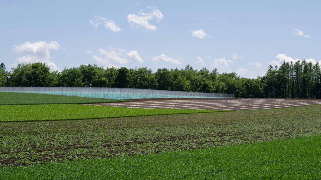
A farmer outside the town of Dušníky, in the rolling lowlands of northwestern Bohemia, had spent decades tilling the same soil. He never suspected that his wheat was growing slightly taller in certain strips because, five feet below his plow, a 5,000-year-old burial mound was feeding nutrients into the roots. Across the Czech Republic, thousands of similar secrets lay just beneath the surface.
Then a team of archaeologists pointed their instruments at the ground and everything changed.
Why 2,918 Hidden Features Under Bohemian Fields Matter Now
The numbers alone are staggering. A multi-university research project led by Petr Krištuf, working with Tomáš Kroupa, Peter Milo, Jan Havelka, Jan Turek, and Martin Gojda, identified 2,918 archaeological features in northwestern Bohemia. These weren’t found in remote wilderness or protected heritage zones. They were under active farmland, hidden in plain sight for millennia.
The project links three major institutions: the University of West Bohemia in Pilsen, Masaryk University, and Charles University. Together, their researchers deployed a suite of remote sensing technologies to scan the landscape without ever breaking ground. What emerged was a dense, organized ancient world that nobody knew existed at this scale.
2,918
Archaeological features identified beneath Bohemian farmland using remote sensing
~5,000 yrs
Age of the Neolithic long barrows, dating to approximately 3000 BCE
Among those features: dozens of Neolithic burial mounds, some stretching hundreds of feet long. Two in particular, near the culturally significant Mount Říp, drew the team’s closest attention. Known as Dušníky 1 and Nížebohy, these long barrows became the focal points of a study that forces us to reconsider how early European communities organized their landscapes around death.
Three Technologies That See Through Five Millennia of Soil
The discovery wasn’t accidental. It was the product of deliberate, layered investigation using three complementary technologies. Each one reveals different information about what lies below the surface, and together they create a composite picture of astonishing clarity.
Technology
What It Detects
Precision
Key Advantage
LiDAR (Airborne Laser Scanning)
Surface elevation changes, earthwork remains
Down to ~1 inch (a few cm)
Sees through vegetation canopy
Magnetometry
Subsurface ditches, pits, burned features
Varies by soil composition
Detects features invisible on the surface
Oblique Aerial Photography
Cropmarks caused by buried structures
Seasonal; depends on crop type
Inexpensive, covers large areas quickly
The cropmark phenomenon deserves special attention. A 2012 research paper demonstrated that common field crops act as accidental detectors of buried structures. Where ancient ditches or walls lie underground, soil moisture and nutrient levels shift. Crops above a buried ditch grow taller and greener. Crops above a buried wall grow shorter and paler.
From the air, these subtle variations create ghostly outlines of structures that haven’t been visible for thousands of years. Bohemian farmers have been unknowingly cultivating archaeological maps every growing season.
IMPORTANT
LiDAR technology can detect surface elevation changes down to about one inch (a few centimeters). This precision allowed researchers to identify burial mounds that had been nearly flattened by 5,000 years of erosion and agricultural activity.
Dušníky 1 and Nížebohy: The Long Barrows Near Mount Říp
Of the 2,918 features identified, two long barrows near Mount Říp received the most intensive study. Mount Říp holds deep cultural significance in Czech tradition; it is said to be the hill where the mythical forefather Čech first surveyed the land and declared it home. That these Neolithic monuments cluster near such a symbolically charged landmark raises compelling questions.
Remote Sensing Capabilities in Archaeology
Interactive data visualization
Airborne Laser Scanning (LiDAR)
3
50
Ground-Based Magnetometry
25
2
Oblique Aerial Photography
50
100
Surface Precision (cm)
Coverage Area (sq km/day)
Source: Research team findings, University of West Bohemia / Masaryk University / Charles University
Long barrows are elongated earthen mounds built over burial sites. They are among the oldest monumental structures in Europe, predating Stonehenge by centuries. The Dušníky 1 and Nížebohy barrows date to approximately 3000 BCE, placing them squarely in the late Neolithic period.
Archaeological Significance Index
9.2/10
With 2,918 features across four concentrations, including 5,000-year-old Neolithic long barrows showing deliberate spatial organization, this discovery ranks among the most significant landscape-scale archaeological findings in Central Europe in recent decades.
“Using a suite of technological tools, researchers are locating Neolithic burial mounds and settlements hidden beneath the landscape of the Czech Republic.”
— AOL / Popular Mechanics reporting on the discovery
What makes these barrows significant isn’t just their age. It’s their spatial relationship to the settlements found nearby. The research team discovered that settlement areas were consistently located 1,600 to 3,300 feet (500 to 1,000 meters) from funerary zones. This wasn’t random. It was a deliberate, repeated pattern across the entire study area.
The 2,918 features formed four main concentrations. Each concentration displayed the same basic architecture: living spaces in one zone, burial spaces in another, with a consistent buffer of roughly half a mile between them. This suggests a level of landscape planning that most scholars hadn’t attributed to Neolithic communities in this region.
500–1,000 meters
Consistent distance between Neolithic settlements and their burial zones
How Spatial Separation Challenges Funerary Assumptions
For decades, the prevailing model of Neolithic burial practices in Central Europe relied heavily on scattered, isolated finds. Individual graves or small clusters of burials would turn up during construction projects or targeted digs. Without landscape-level data, archaeologists pieced together funerary customs from fragments.
The Bohemian findings upend that approach. Instead of isolated burial sites, we now see an integrated territorial system. The dead weren’t simply placed wherever was convenient. They were given dedicated zones, separated from the living by a buffer that appears standardized across multiple communities.
This has profound implications. It suggests that Neolithic societies in Central Europe around 3000 BCE possessed a shared conceptual framework for organizing sacred and profane space. The consistency of the 500-to-1,000-meter gap across four separate site concentrations points to either a cultural norm transmitted between communities or a common ancestral practice inherited from earlier generations.
KEY TAKEAWAY
Neolithic communities in Bohemia maintained a consistent 500-to-1,000-meter buffer between settlements and burial zones across four major site concentrations, revealing deliberate landscape planning that predates written records by millennia.
Previous understanding of Central European Neolithic funerary practices leaned heavily on evidence from the Linearbandkeramik (LBK) culture and the Funnel Beaker culture. Both left burial evidence, but rarely at the landscape scale now visible in Bohemia. The Czech findings suggest that the relationship between the living and the dead was architecturally encoded into the land itself.
⚡What Would You Do?
You’re a farmer in Central Europe and archaeologists want to survey your fields using LiDAR and magnetometry. They suspect Neolithic burial mounds lie beneath your crops. The survey is non-invasive, but if significant finds are confirmed, future excavation could disrupt your planting seasons.
Balanced
Archaeologists may discover nationally significant heritage sites, potentially bringing academic recognition and heritage protection funding to your land, but planting disruptions could reduce crop yields for 1-2 seasons.
Cautious
Non-invasive scanning documents what lies beneath without disturbing your farming operations. However, the most significant discoveries may remain unconfirmed, and legal protections for the site might not be triggered.
Short-sighted
Your farming continues uninterrupted, but 5,000-year-old heritage sites remain undocumented and unprotected. Deep plowing or future construction could destroy irreplaceable features permanently.
Understanding Neolithic Burial Practices in Central Europe
BEFORE THIS DISCOVERY
Neolithic burials in Central Europe were understood primarily through isolated, scattered finds from construction projects and targeted excavations. No landscape-level patterns of funerary organization had been identified in Bohemia.
AFTER THIS DISCOVERY
2,918 features reveal a systematic, organized landscape where settlements and burial zones were deliberately separated by 500-1,000 meters. Four distinct concentrations show this pattern was a shared cultural norm, not an isolated practice.
What Cropmarks and LiDAR Reveal About Europe’s Hidden Past
The Bohemian project isn’t happening in isolation. Across Europe, similar technologies are peeling back layers of agricultural soil to reveal lost worlds. In central Denmark, archaeologists recently uncovered a 2,000-year-old Iron Age complex at Hedegaard beneath farmland, revealing what may have been a major regional center. In England, LiDAR surveys have identified thousands of previously unknown features around Stonehenge.
But the Czech project stands out for its scale and systematic approach. Identifying 2,918 features across a single study area represents one of the densest concentrations of remote-sensed archaeology in Central Europe. The four main clusters suggest that this region of Bohemia was far more densely inhabited during the Neolithic than anyone previously estimated.
The implications ripple outward. If ordinary farmland in the Czech Republic conceals this many features, what lies beneath the agricultural heartlands of Poland, Germany, Austria, and Hungary? These regions share similar geological and agricultural histories. They’ve been farmed for centuries, and their Neolithic pasts remain largely unscanned.
Timeline of the Bohemian Discovery
~3000 BCE
Neolithic communities construct long barrows and establish settlement zones in northwestern Bohemia
2012
Research paper establishes that cropmarks from common field crops can reveal buried archaeological structures
2020s
Multi-university team deploys LiDAR, magnetometry, and aerial photography across Bohemian farmland
2025
Team publishes findings: 2,918 features identified, including Neolithic long barrows near Mount Říp
Scanning Central Europe’s Agricultural Zones for Lost Civilizations
The forward-looking question is whether this methodology can scale. LiDAR data is increasingly available through government survey programs. The European Union’s Copernicus program and national mapping agencies in several countries have already generated high-resolution terrain data that could be reanalyzed for archaeological features.
The bottleneck isn’t technology. It’s interpretation. Identifying 2,918 features required expert eyes to distinguish ancient ditches from modern drainage, Neolithic barrows from medieval field boundaries. Machine learning algorithms are being developed to assist with this classification, but they’re not yet reliable enough to replace trained archaeologists.
There’s also the question of preservation. Every year, deep plowing, construction, and land development destroy features that haven’t yet been documented. The Bohemian barrows survived partly because the region’s agricultural practices were relatively gentle. In areas with more intensive farming, similar features may already be gone.
Petr Krištuf’s team has demonstrated a model that other researchers can replicate. The combination of oblique aerial photography for initial detection, LiDAR for precise surface mapping, and magnetometry for subsurface confirmation creates a layered verification system. Each technology compensates for the others’ blind spots.
The Dead Have Been Waiting Beneath Our Feet
There is something unsettling and magnificent about the idea that we walk over the carefully planned resting places of people who lived five millennia ago. The farmers of Bohemia planted their crops, raised their children, and buried their dead in a landscape they had divided with intention. Then time buried them, too.
What the Czech discovery reveals is not simply that old things exist underground. We knew that. It reveals that Neolithic societies possessed a spatial intelligence, a capacity for communal planning, that we have consistently underestimated. The 500-to-1,000-meter buffer between the living and the dead wasn’t an accident repeated four times. It was a principle.
Five thousand years from now, will anyone scan our cemeteries and suburbs and recognize the same deliberate separation? The pattern is older than writing, older than bronze, older than the wheel in Europe. And it took a laser fired from an airplane to finally see it again.
Frequently Asked Questions
What did archaeologists find beneath Czech farmland?▶
A multi-university research team identified 2,918 archaeological features in northwestern Bohemia, including dozens of Neolithic long barrows (burial mounds) dating to approximately 3000 BCE, roughly 5,000 years old.
What technologies were used to find the buried sites?▶
The team used three complementary technologies: airborne laser scanning (LiDAR) capable of detecting surface changes down to about one inch, magnetometry to identify subsurface features, and oblique aerial photography to capture cropmarks caused by buried structures.
Why is the distance between settlements and burial zones significant?▶
Settlement areas were consistently found 1,600 to 3,300 feet (500 to 1,000 meters) from funerary zones across four separate site concentrations. This consistent buffer suggests deliberate landscape planning by Neolithic communities, challenging previous assumptions about early European societies’ organizational capabilities.
What are the Dušníky 1 and Nížebohy barrows?▶
These are two Neolithic long barrows near Mount Říp in the Czech Republic that received the most intensive study. They are approximately 5,000 years old and are part of a larger pattern of organized burial zones discovered in the region.
How do cropmarks help archaeologists find buried structures?▶
Buried structures alter soil moisture and nutrient levels. Crops above a buried ditch grow taller and greener, while crops above buried walls grow shorter and paler. From the air, these variations create visible outlines of structures that are invisible at ground level.
The Editorial Team is the named, credentialed group responsible for every article on this site. Each piece is researched by a section editor, reviewed by a credentialed practitioner where the topic warrants it, and signed off by the Editor in Chief before publication. The corrections process is public; named editors are accountable.





Leave a Reply